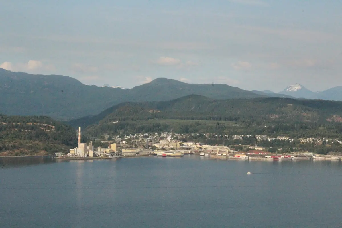
Powell River and the upper Sunshine Coast
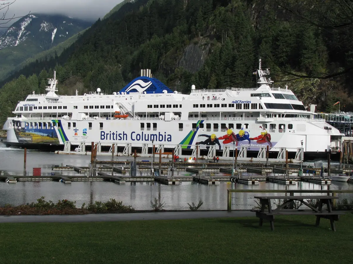
The Sunshine Coast is a peninsula. To travel from the southern to the northern Sunshine Coast you take the ferry from Earls Cove to Saltery Bay. The scheduled crossing takes 50 minutes. Saltery Bay is the name of the ferry terminal. It is not downtown Powell River.
North of the crossing, the main draws are the Sunshine Coast Trail and Desolation Sound Marine Park. If you would rather spend a day on the water near Earls Cove and Egmont, Princess Louisa Inlet boat tours leave from the Egmont side. For hiking on the lower coast, see hiking near Roberts Creek.

What to do north of the ferry
Three ways to use the upper coast. Prices and rules are for 2026.
| Option | Good for | Cost | Good to know |
|---|---|---|---|
| Day hike on the Sunshine Coast Trail | A few hours in coastal forest | – | Two sections near Saltery Bay are closed in winter 2026/27 |
| Hut-to-hut hike | Several days on the trail | Huts are free | First come, no reservations, one night per hut |
| Camping at Desolation Sound | Paddlers and boaters | CAD 5 per person and night | Registration is not a reservation |
For most visitors from Sechelt, a day hike near Saltery Bay is the realistic plan. Save the hut-to-hut route and Desolation Sound camping for a longer stay on the upper coast.
Tours and day trips on the Sunshine Coast
Boat trips, kayak outings and day tours on the Sunshine Coast, with live prices and availability.
Getting there: Earls Cove to Saltery Bay
Drive north on Highway 101 to Earls Cove, which sits close to Egmont, and board the ferry to Saltery Bay. The scheduled crossing takes 50 minutes. Check the current BC Ferries timetable, the fare for your vehicle and whether a space can be reserved on this route before you leave. Keep the day flexible.
From the south the usual way to the Sunshine Coast is the Horseshoe Bay to Langdale ferry. Our getting to Sechelt page explains that first leg. Add the Earls Cove crossing to it and you have the full route to Powell River.
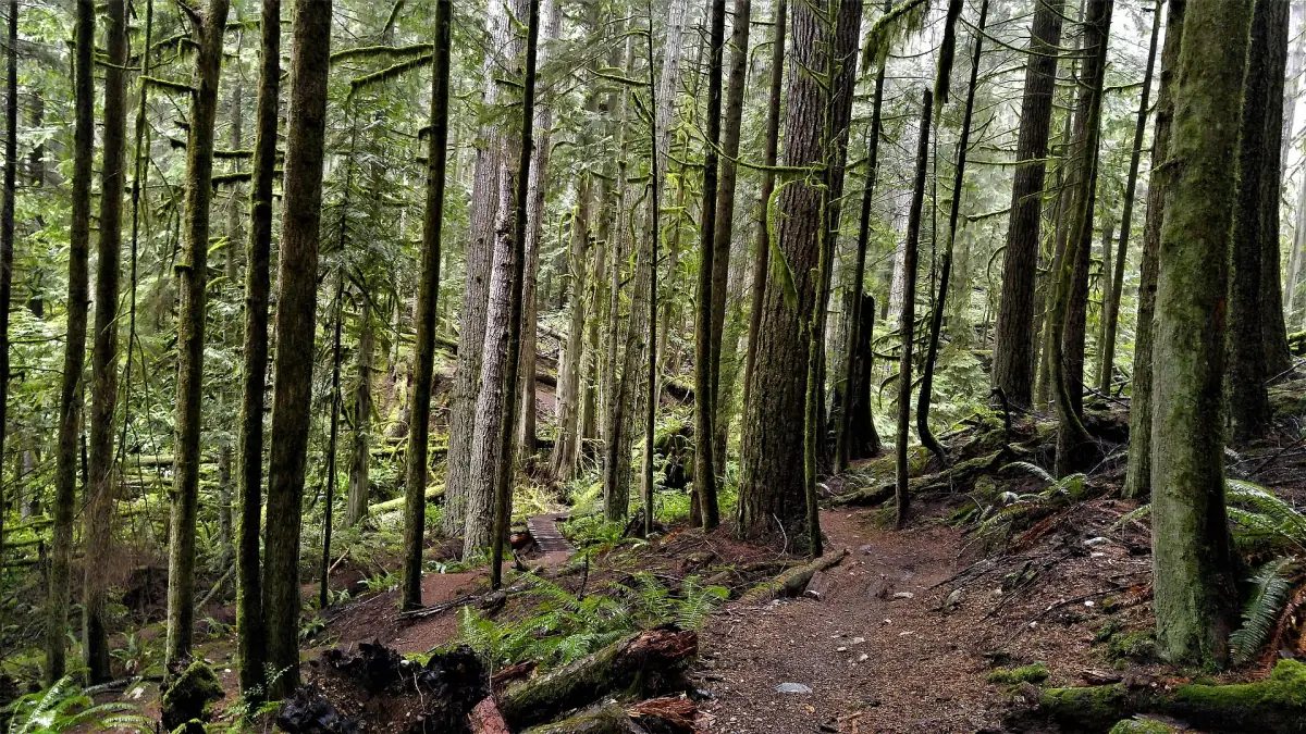
Sunshine Coast Trail
The Sunshine Coast Trail runs for 180 km, from Sarah Point at Desolation Sound to Saltery Bay. It passes through tall coastal forest and has about 14 huts, plus a few other shelters, along the route. You can walk a short section for an afternoon or plan several days.
Hut rules
- Huts are free and used on arrival. You cannot reserve a bed or save a place for others.
- You may stay one night in each hut.
- Carry a tent as a back-up in case a hut is full.
- Dogs are not allowed inside the huts.
Closures in winter 2026/27
Two sections near Saltery Bay are closed. The Fairview Bay Trail near Ahlstrom Point is closed through 28 February 2027. The upper Saltery Bay and Blue Grouse Ridge Trail near Saltery Creek is closed through 25 April 2027. A detour runs via Saltery Bay FSR Br 01 to Rainy Day Lake. Do not plan on walking the whole original route without the detour.
Desolation Sound Marine Park
Desolation Sound is a marine park for paddlers and boaters. Camping registration runs from 1 June to 15 September 2026. It costs CAD 5 per person and night for visitors aged 6 and over, plus CAD 20 per adult who lives outside B.C. for the stay. Registration is not a reservation, and sites are first come, first served.
- Camp only on the tent platforms.
- No campfires in Desolation Sound, the Copeland Islands or Malaspina marine parks.
- Respect the marked no-anchor zones.
If you want to paddle, read Sechelt Inlet kayak tours and rentals for paddling closer to Sechelt.
Planning a trip from Sechelt
- Leave early. The Earls Cove crossing and the drive to the terminal both take time. Add check-in and possible waiting.
- Check the trail first. Closures change with the season, so read the latest notices before you drive.
- Pack for the weather. Coastal weather turns quickly. Our Sechelt weather page shows the monthly pattern.
- Plan the night. Decide where you will sleep before you cross, especially in summer.

Powell River from Sechelt: frequently asked questions
How do you get to Powell River from Sechelt?
Drive north on Highway 101 to Earls Cove and take the ferry to Saltery Bay. The scheduled crossing is 50 minutes. Saltery Bay is the terminal, not downtown Powell River.
How long is the Sunshine Coast Trail?
180 km, from Sarah Point at Desolation Sound to Saltery Bay.
Do the trail huts cost money or need a reservation?
No. Huts are free and used on arrival, with no reservations. You can stay one night per hut and should carry a tent as a back-up. Dogs are not allowed in huts.
Is the Sunshine Coast Trail open?
Most of it, but two sections near Saltery Bay are closed through 28 February 2027 and 25 April 2027. A detour via Saltery Bay FSR Br 01 to Rainy Day Lake is in place.
What does camping at Desolation Sound cost?
In 2026 it is CAD 5 per person and night from age 6, plus CAD 20 per adult who lives outside B.C. for the stay. Registration is from 1 June to 15 September and is not a reservation.
Is this an official site of Powell River or BC Parks?
No. This is an independent guide. It is not run by BC Parks, BC Ferries, the trail society or any town.